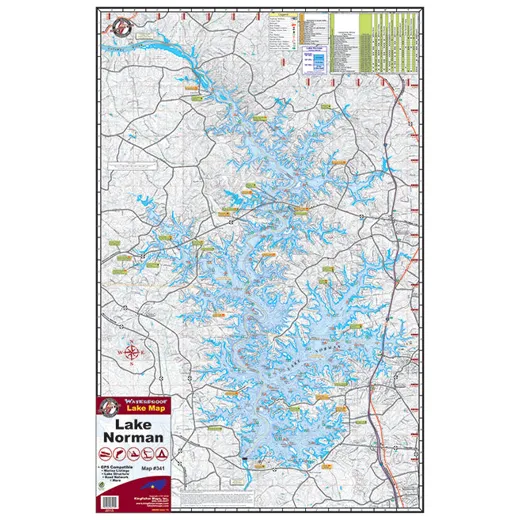
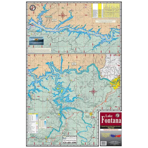
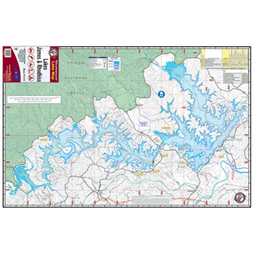
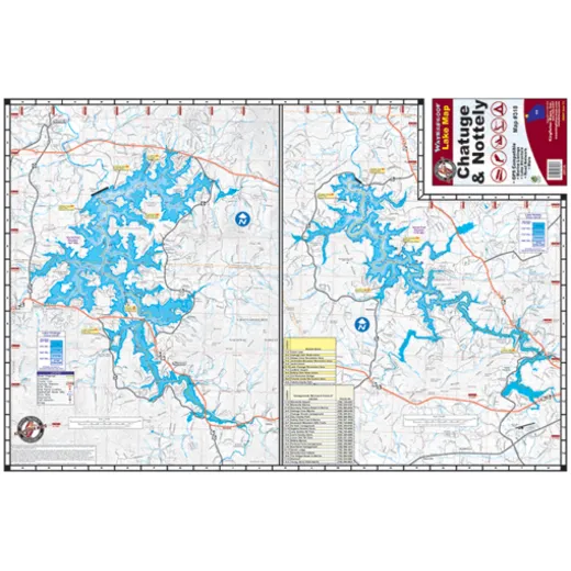
Kingfisher North Carolina Lake Maps
Maps of South Carolina lakes, including: Clarks Hill/ Strom Thurmond, Lake Greenwood, Lake Hartwell, Murray / Monticello, Russell / Secession, Saluda Lake, Santee Cooper, Lake Wateree, Lake Wylie / Mountain Lake.
All Waterproof and Tear Resistant.
Topographic Maps for Fishing Boating and Recreation.
GPS Compatible, Marina Listings, Lake Structure, Road Network and More.
| Feature | Detail |
|---|---|
| Map Coverage | South Carolina lakes |
| Material | Waterproof and tear resistant |
| Use Cases | Fishing, boating, recreation |
| Compatibility | GPS compatible |
| Includes | Marina listings, lake structure, road network |
FAQ
Are these maps suitable for use in boats or on water?
Yes, the maps are waterproof and tear resistant, making them ideal for use in boats or during outdoor water activities.
Can I use these maps with my GPS device?
Yes, these maps are GPS compatible and can be used with most GPS devices for navigation.
Do the maps include information about marinas and lake facilities?
Yes, the maps include marina listings and other lake facilities for convenient recreation planning.

James Wilkins –
These maps are very useful for planning fishing trips. The detail on lake structures and road networks helps a lot. They stay dry even in rainy conditions and are easy to read on the boat.
Alan Roberts –
I use these maps for boating around Lake Hartwell. The GPS compatibility is a big plus. Clear layout and accurate features make navigation smooth and safe.
Ava Nolan –
Good coverage of major lakes. A bit less detail on smaller inlets, but overall very reliable for recreation and fishing planning.
Wendy Roberts –
Highly durable and waterproof. I’ve used them in heavy rain and on the lake surface without any damage. The marina info is very helpful for planning stops.